Colorado River Streamflow: A Paleo Perspective
Introduction
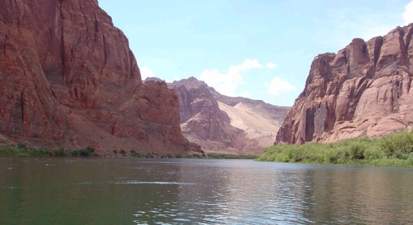
The Colorado River flows 1,450 miles (2,330 km) from the high peaks of the Rocky Mountains through the desert Southwest, along the way serving as a vital source of water for municipalities, agriculture, hydropower, recreation, and fish and wildlife species. The Colorado is highly variable, with a fivefold difference in annual flow between the wettest and driest years. The Colorado is also heavily regulated and strictly apportioned, and in most years in the past few decades no water has reached its mouth at the Gulf of California after being doled out so thoroughly.
In recent years, human demands for water supply have approached the capacity of the Colorado River to provide for them. This has made it even more critical for water managers to fully understand and plan for the inevitable swings from periods of wet conditions to dry conditions and back again. The main source of this understanding has been the gaged records of streamflow, which are about 100 years long at most. But the recent drought, with unprecedented low flows at many gages in the Colorado River basin, has called into question whether the gaged record is an adequate baseline for water planning.
In this website, Colorado River Streamflow: A Paleo Perspective, we will assess the gaged record of Colorado River streamflow in the context of multi-century flow reconstructions from tree rings. We will describe the Colorado River system and its management, then the century-long gaged record of flow, and then the use of tree rings to extend, or reconstruct, the gaged record 400 years or more into the past, providing a more complete picture of past flow variability. We will take a closer look at the most recent streamflow reconstructions for Lees Ferry, and how they compare with previous reconstructions.


